This easy trail is a short 0.3 mile long (one way) but has a 224 foot elevation gain. It is also located at a very high altitude, which may make it more challenging for those not used to being at high elevations. That being said, the trail's short distance and stone stairs make it very doable for most visitors to this area. Given its fairly steep incline, it is sometimes called "Huffer's Hill."
 |
| Topographical Map |
 |
| Graph of Elevation |
 |
| Trail in Google Earth |
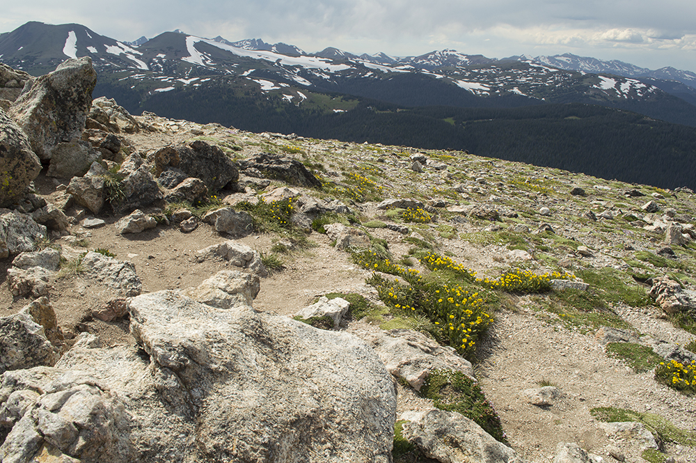
This short trail is great for viewing some of the Alpine Tundra if you don't have a lot of time or enough energy to go on one of the longer hikes in the area. There were lots of wild flowers growing along the trail while we were there, and there are scenic views of some of the surrounding mountains as well.

 |
| Alpine Avens - a favorite food for the pikas living here |

It is usually very windy, and can be cold even during the summer given its high altitude.

Directions
This trail is located in Rocky Mountain National Park, which is next to Estes Park in Larimer County, Colorado. To get there, take US-36/Moraine Ave. east from Estes Park into Rocky Mountain National Park. Note that there is a fee to enter the park. At the road split after entering the park, stay right heading toward Trail Ridge Rd. Stay left at Deer Ridge Junction to continue up Trail Ridge Road. Go up this road for 17 miles to the Alpine Visitor Center parking. The trail is at the far east end of the parking area, and is easily visible from the parking lot as it heads up the slope.
No comments:
Post a Comment