This strenuous trail is 4.5 miles one way with about a 2650 foot elevation change. However, because the trail goes up and down, hikers will end up climbing a good deal more than that. By the time you go up to the peak and back down the way you came, you will have climbed over 4,000 feet. Mount Nebo is the highest point in Utah County and is one of Utah Counties "Seven Peaks."
This route starts out along the trail that goes to North Peak. However, for hikers wishing to go to the north-most and highest peak on Mount Nebo, this path is the shortest, easiest, and most popular route there. The trail splits off (as marked by the red flag in the map below) at the saddle of North Peak.
 |
| Topographical Map |
 |
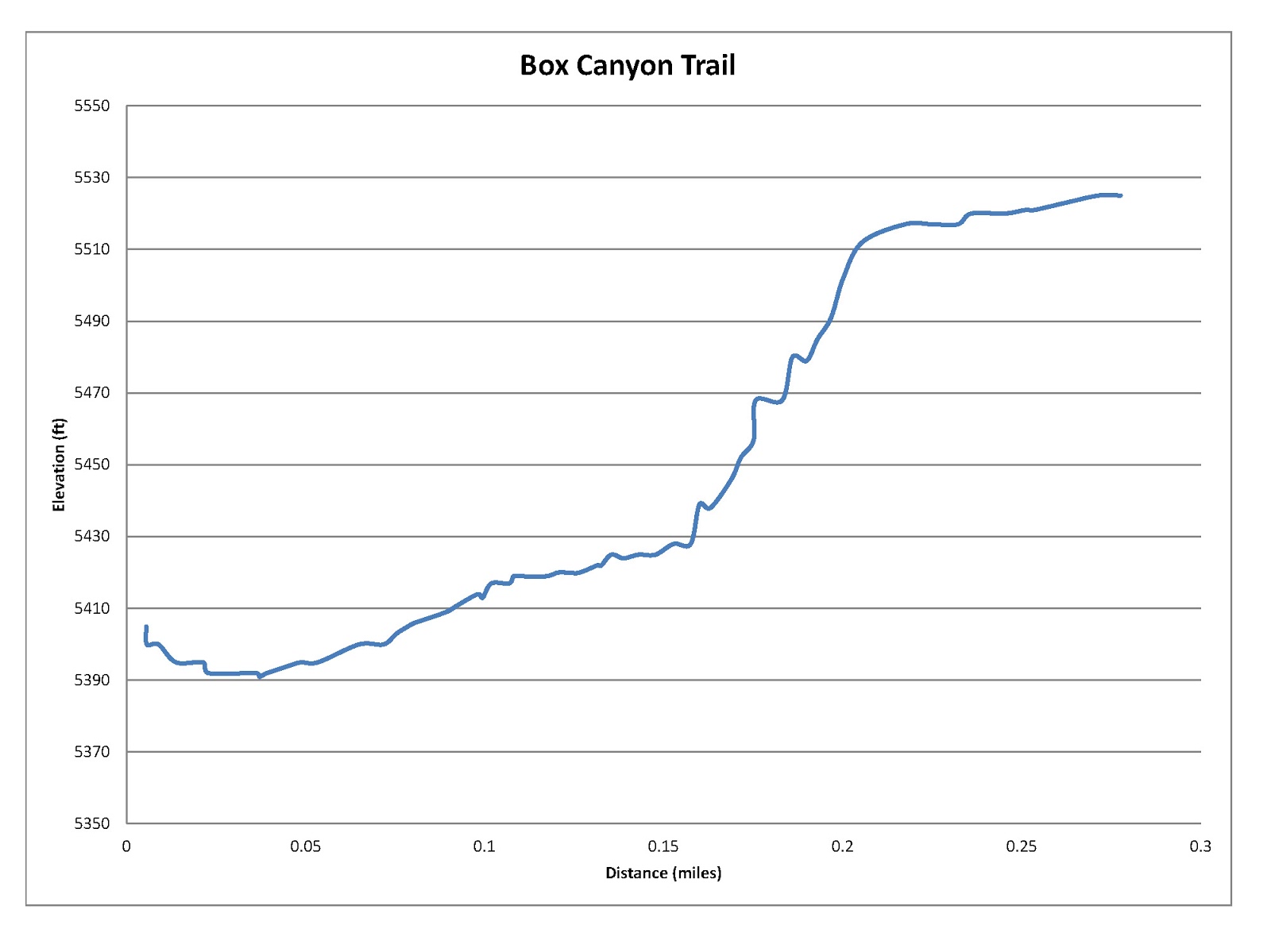
| Graph of Elevation |
 |
| Trail is Google Earth |
The scenery along this trail is breathtakingly beautiful. We went at just the right time to see just about every wildflower along the trail in full bloom. The array of colors and flower varieties seemed endless. There were lupines, wild roses, mint, paintbrush, wild geraniums, sweet peas, buckwheat, blue bells, yampah, mountain asters, and many other flowers. The ascent to the peak was even dotted with columbines.
The trail starts out running along a ridge by a barbed wire fence through hilly meadows. The trail offers some nice views of some of the nearby mountains through here.


The trail soon heads away from the fence. It then leaves the ridge briefly and continues into a forested area about 1.5 miles up the trail. There are a lot of dead trees in this area that have fallen over across the trail. Hikers can climb over them or in some cases follow makeshift paths around them. Coming out the forest area, the trail follows the ridge again briefly before turning into a small basin. The trail then climbs out of the basin to the ridge forming its west side.


 |
| Looking out toward Loafer Mountain (in back to right) |
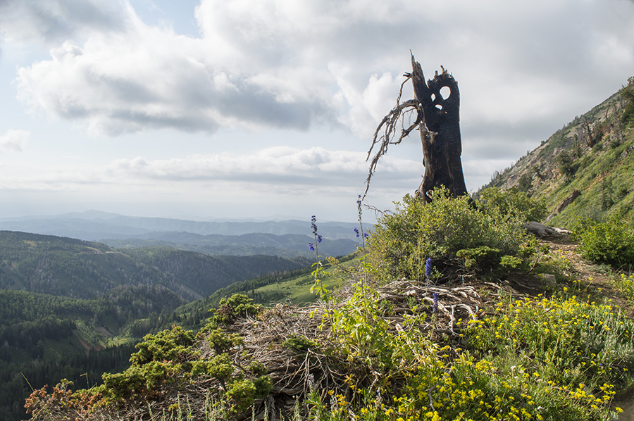
After coming up this ridge, the trail reaches the saddle for North Peak. The trail continuing up to the top of North Peak is not prominent, so it is easy to stay on the main trail that continues to Mount Nebo. The trail descends along the west side of North Peak and arrives at the saddle called Wolf Pass on the other side.
 |
| Trail descending along the west side of North Peak to Wolf Pass |
From there you still will have to go roughly a mile to the top, which is still about 1,250 above you. This steepest section of the trail is covered with sharp shale rocks. After first ascending to a false summit point, the trail descends a couple hundred feet before making a final climb to the peak.
 |
| Looking toward Mount Nebo from the false summit |
 |
| View of Mona from the false peak |
Being at the peak of Mount Nebo can be exhilarating. It can also be very cold, depending on the day. On this trip to the top, we found ourselves at the level of the clouds, which obscured our view some. A brisk chilly wind kept us feeling pretty cold. Pay attention to conditions and be prepared for the possibility of inclement weather up here.
From this peak, it is also possible to continue hiking south if desired to the south and middle peaks along Andrew's Ridge Trail. These paths are difficult though, so make sure you research them and are prepared. It is possible to continue going south after reaching the south peak along Andrew's Ridge Trail to the Nebo Bench or Willow Creek Trails.
 |
| Looking southwest from the peak |
 |
| Looking southeast from the peak |
 |
| Looking east from the peak |
Some people do this trail as a backpacking trip. If you do this, just make sure you practice leave no trace principles.
This trail is open to dogs and horses as well as people. However, taking a horse all the way to the peak will not work for obvious reasons. There are no bathrooms or water at this trailhead, but there is an outhouse at the nearby Monument Trailhead just south of it.
 |
| Looking out at Loafer Mountain |
Directions
This trail is located in Utah County along the Nebo Loop (which goes from Payson to Nephi). To get there from the north, take I-15 to Exit 250 in Payson and head south on Main Street. Continue to 100 North and turn left. Then go to 600 East and turn right. Continue along this road as it turns into the Nebo Loop and goes up the canyon. Find the Monument Trailhead on your right, which is about 22.6 miles from where you first turned onto 600 East. At the Monument Trailhead you will find the Nebo Bench Trail, which will also go to Mount Nebo, but it is much longer. The trail map at this trailhead (at least while we were there) it did not show the trail explained above; it only showed the trail to North Peak. There is an outhouse available here though, so if you need to use it, this is the place to do so. To get to the trailhead explained above, head up the dirt Mona Pole Road at the north end of the Monument Trailhead parking lot. You will soon reach a dirt parking area from which the trail starts.
If you are coming from the south, from I-15, take Exit 225 in Nephi and turn right onto UT-132/100 North. Continue up this road for about 18.6 miles as it goes up the canyon until you reach the Monument Trailhead, as explained above.