The Trail
Santaquin Peak is considered one of seven major peaks of Utah county. This moderately difficult trail is 5.8 miles long (one way) and has a 3,100 elevation gain.
However, unlike the climbs to many peaks, there are a number of places where the trail descends some on the way up. While this adds a little to the overall amount of climbing hikers will do, it also spreads the climbing out and makes it less strenuous. The longest stretch of steep climbing takes place between mile 2.25 and 3.75.
 |
| Topographical Map |
 |
| Close-up of first part of the trail |
 |
| Close-up of second part of the trail |
 |
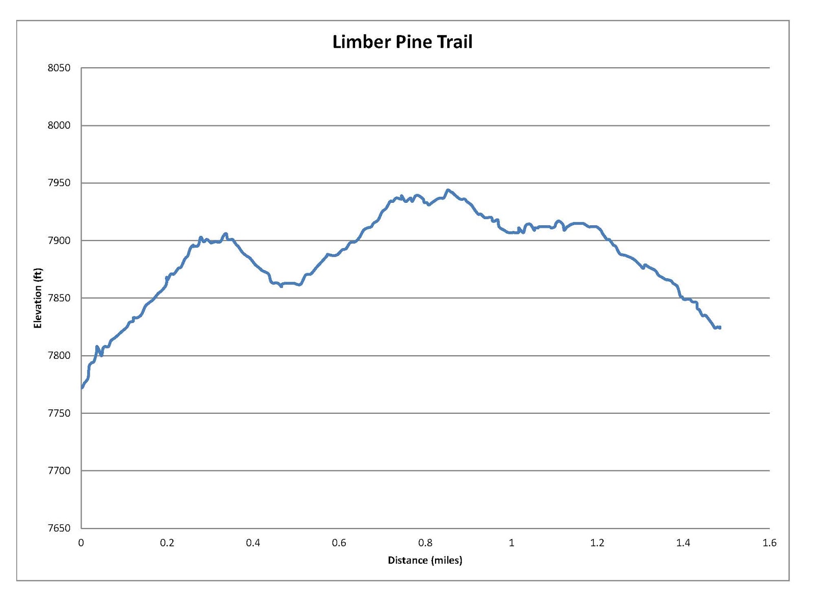
| Graph of Elevation |
 |
| Trail in Google Earth |

The trail is easy to follow despite the fact that it is less popular than other peak trails. In fact, we were surprised to not run into any others hiking it on the day we went. There are a couple places where the trail seems to split, but most places it actually just joins back with itself. The
Blackhawk Trail and Bennie Creek trails cross the Loafer Mountain trail about a mile into it, as marked by the blue hiker on the topographical maps, but the trails are well labeled. Just stay on the Loafer Mountain Trail, which is #98. There is also a gate a little ways after the trail split, which you must be sure to close behind you when you get there.
We hiked this trail starting early in the morning on July 24, and our timing was just right to see an amazing array of wildflowers in full bloom on the sloping meadows and along the mountain ridges. We saw lots of horse mint, yarrow, paintbrush, flax, and buckwheat, as well as blue bells, lupines, columbines, and forget-me-nots, among numerous of other blossom varieties.
 |
| A view of Mount Nebo from the trail |
 |
| A sage grouse on the trail |
 |
| Utah Valley from fire pit at the top of the steep steady climb (~ mile 3.75) |
Although this trail is called the Loafer Mountain Trail, it actually does not go to the top of Loafer Mountain. Loafer Mountain Peak is said to be a couple feet higher than Santaquin Peak, but it is not a very angular peak. Santaquin Peak blocks the view of Utah Valley from the top of Loafer Mountain, so the view from Santaquin Peak is also considered to be better. Hikers wishing to get to the top of Loafer Mountain can continue up the ridge to its top, though there is not a trail in that direction.
 |
| Along the final accent to the peak |
 |
| Mountain goats seen on the peak across from Santaquin Peak |
When we reached the top, we found a tattered U.S. flag tied to a flag pole and a battered mailbox with moldy notebooks in which we could sign our names. The view all around us was fantastic though! From the top hikers can see a number of canyons, peaks, valleys, and other landmarks including Mount Nebo, Utah Valley, and part of Payson Lakes. Don't be surprised if you also spot some mountain goats.
 |
| Utah Valley from Santaquin Peak |
 |
| Mount Nebo from Santaquin Peak |
This trail is open to dogs that are kept on a leash and horses. However, as the trail approaches the peak there are rough spots that probably are not suitable for horseback riding. Also beware that there are not restroom facilities available at the trailhead or at any point along the trail.
 |
| View of Utah Valley on our way back after the sun came out more |
Directions
This trail is located in Utah Valley along the Nebo Loop. If you are coming from the north, take I-15 to Exit 250. Turn left onto Main Street and continue to 100 North. Turn left on 100 North, then right on 600 East, and from there continue onto S. Canyon Rd./Nebo Loop Rd. The trail head is just over 8 miles up the canyon road at a parking area marked for the Loafer Mountain Trail.
If you are coming from the south, take I-15 to Exit 248 for Payson. Turn right onto 800 South, continue to 600 East, turn right and continue onto S. Canyon Rd./Nebo Loop Rd. Continue just over 8 miles to the parking area as explained above.