The Trail
This moderate trail is 2.4 miles long (one way) with a 1454 foot elevation change. It has a fairly steep climb at the beginning, a fairly level portion, and a progressively steeper portion as you approach the waterfall. For a shorter trail, you can hike just to Bell Canyon Reservoir, which is only 0.5 mile up the trail.
 |
| Topographical Map |
 |
| Graph of Elevation |
 |
| Trail in Google Earth |
The beginning of this trail starts out at a pretty good climb up to the reservoir. The trail here often involves large steps up the graded trail. The reservoir is scenic on its own and provides a nice stop on the way up, or an nice destination point for a short hike. The trail maps and graph here reflect a stop by the reservoir on the way up, but that is just a short jog off the trail that continues around the north side of the reservoir.
 |
| Trailhead |
 |
| Creek by the first bridge on the way to the reservoir |
 |
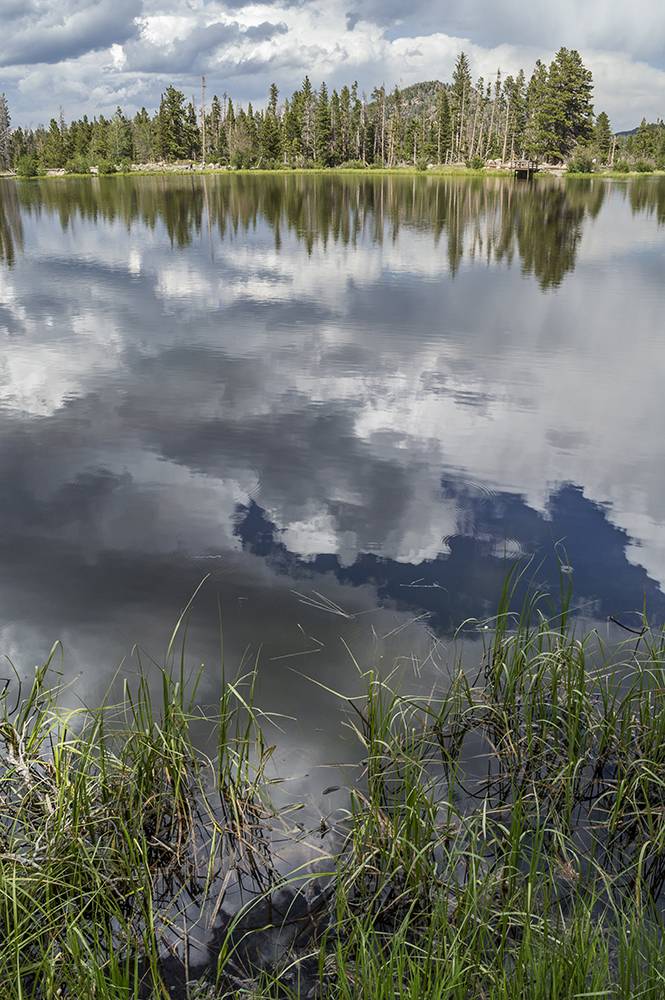
| Bell Canyon Reservoir |
After rounding the north side of the reservoir, the trail really levels off for a bit.
 |
| Section where trail levels off |
 |
| View of the reservoir from the trail on the north side |
The trail soon heads into a pleasantly shady forested section and crosses the creek again. It then turns and follows the creek east up to the falls.
 |
| Creek at bridge |

The trail's incline gradually increases until reaching the falls. There are a number of paths along this section that break off close to the creek or elsewhere, but the main trail is generally well marked, and a sign makes the turn off to the waterfall clear. We found the distances given to the falls listed on these signs to be inaccurate though according to our GPS data.
 |
| Lower Bell Canyon Falls |
The fall itself proved to be a beautiful and refreshing sight after a hot hike. The mist from the falls was so heavy that it was difficult to get a picture of it from a more direct angle, so we just ended up with pictures more from the side as the one shown above.
More ambitious hikers with extra time can continue past the lower falls to the upper falls and/or Upper Bell Canyon Reservoir. The trail beyond the lower falls though is considered strenuous.
Dogs are not permitted on this trail. There are no restrooms at the trailhead.
Directions
This trail is located in Salt Lake County in Sandy, Utah. To get there, from I-15 take Exit 295 onto 9000 South and head east. This road curves around and becomes 9400 S. Turn left onto Wasatch Blvd. You will have to make a U-turn sometime at or after the turn off for Grayboulder Ct./Bedrock Ln. since the parking for the trail is on the other side of road, and the road is a one-way road at that point. Continue to the Bell Canyon Trail parking area. If it is full, there is some overflow parking a short ways up from this lot.