This easy trail is 1.4 miles long with a 313 foot elevation change. It is actually an ATV trail and can by used by motorized vehicles 60 inches wide or less. However, hikers are also welcome to use the trail. In fact, this trail is just so beautiful you may get much more out of walking up it instead of riding across it on an ATV. The trail's numeric title doesn't do it much justice.
 |
| Topographical Map |
 |
| Graph of Elevation |
 |
| Trail in Google Earth |
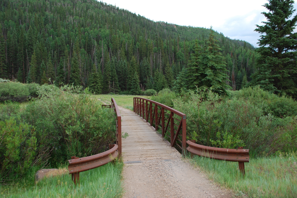 |
| Bridge at the west end of the trail |

The ends near the dam for Three Creeks Reservoir. At this point the trail gradually widens into a dirt road as it goes up a switchback. We hiked to the fork in the road overlooking the reservoir, but the dirt road does continue to the main road (making it possible to hike from one end of this trail to the other if you have more than one vehicle available).


Directions
This trail is located near Beaver, Utah up Beaver Canyon in Beaver County (yeah, I know...that is a lot of beaver...). When coming from the north, to get there from I-15 take exit 112 for Beaver. Turn left onto Main Street, and then turn left onto 200 North/UT-153. If you are coming from the south, take exit 109 off I-15, turn right onto Main Street, and then right onto 200 North/UT-153. Continue up UT-153 for about 14.7 miles. This will take you up Beaver Canyon and into Fishlake National Forest. Park at the Jimmie Reed trail head, which will be on your left. Outhouse style restrooms are available here. Cross the street to find the trail head for PST 05.
Alternatively, to start from the other end of this trail, go up UT-153 for about 17 miles and then turn right onto the dirt road. There is a sign here for the Beaver High Adventure Base. Continue on this road until you reach the fork in the road at N38 17.883 W112 25.266. This is where we ended our trail, but if desired you can stay right and drive a regular vehicle further down to the base of the dam.
No comments:
Post a Comment